

 DirectStay

Most cities bury their transit systems underground and hope you forget you're using them. Portland did the opposite. It built a light rail line where the first thing you see from the airport is Mt. Hood filling the east-facing windows. It hung a gondola cabin five hundred feet above the South Waterfront and opened it to anyone willing to pay a few dollars for the ride. It paved a trail that runs far enough from the city center to turn a bike ride into a day trip. Getting around Portland isn't the part between experiences — it is the experience, and the travelers who figure that out early spend less money, cover more ground, and remember the in-between moments longer than whatever they planned to do when they got there.
The MAX Blue Line runs from Portland International Airport to the city center, and the trip itself is a thesis statement. The train pulls east and Mt. Hood appears — snow-capped, filling the window, closer than you expected. It stays there as the neighborhoods roll past. By the time you step off downtown, you've already absorbed something about how Portland is built: the mountain is always present, the city faces the river and the peaks simultaneously, and the transit system puts you in relationship with both before you've checked into your rental.
Washington Park Station sits along the same line, buried deeper underground than any transit station in North America. From there, you step out into the International Rose Test Garden, the Japanese Garden, and the Oregon Zoo without ever starting a car.
The Portland Aerial Tram connects the South Waterfront neighborhood to OHSU's campus on Marquam Hill, and it's open to the public. The ascent takes three minutes. The cabin rises above the freeway, above the rooftops, above the tree line, and by the top, the entire city spreads out — the river, the bridges, the West Hills, Mt. Hood and Mt. St. Helens on clear days. Most visitors don't know this exists. It was built as medical campus infrastructure. But for a traveler standing at the top, looking across the Willamette at a city that just revealed its full shape, the word "commute" doesn't quite cover what happened.
Springwater Corridor is a paved trail that runs south from OMSI along the Willamette River, then turns east to follow Johnson Creek through Sellwood, Milwaukie, and eventually into the town of Boring. It stretches for twenty-one miles — the longest continuous urban trail in the metro area — and connects to the Eastbank Esplanade for a loop that exceeds twenty-five miles total. The surface is flat, and the city gradually gives way to farmland and open sky.
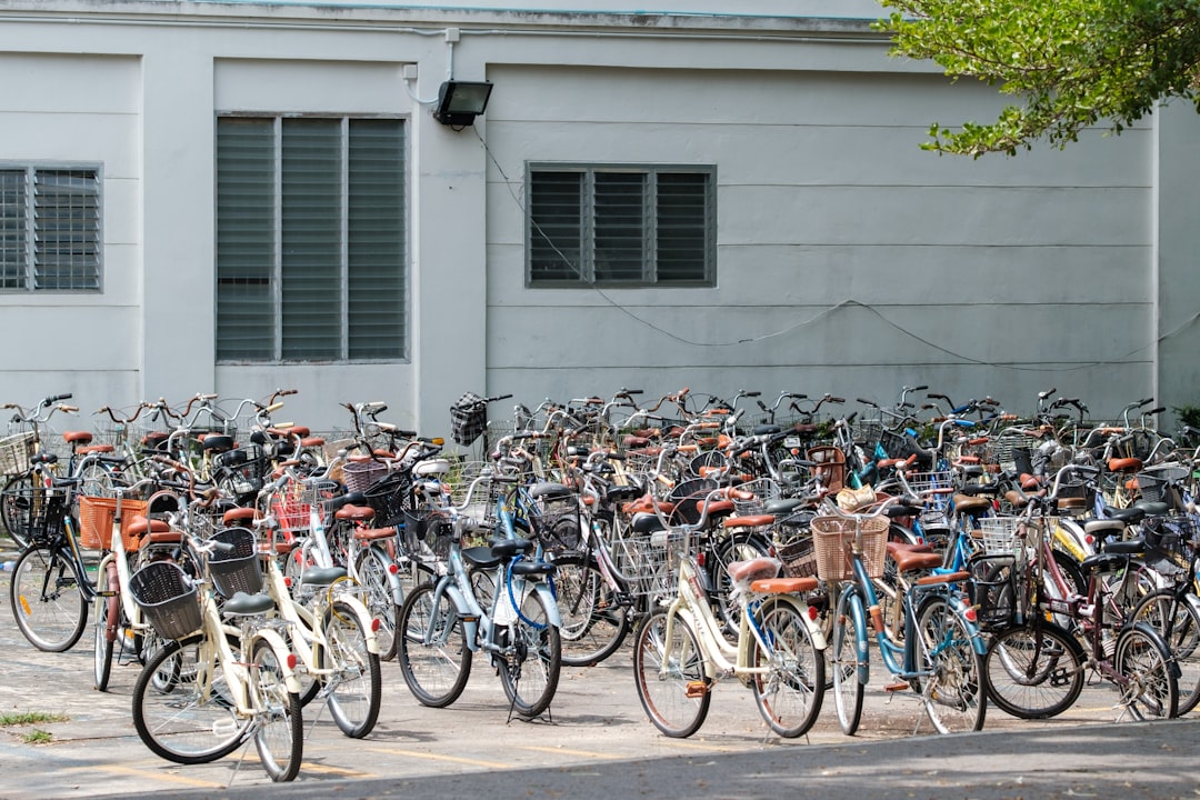
This is where BIKETOWN — Portland's Nike-sponsored bike share system — stops being a utility and becomes a discovery tool. Thousands of e-bikes sit in stations across the city, and first-time visitors who grab one cover more ground than walking allows, see more than driving permits, and stop whenever a storefront or park or food cart pod catches their eye. The difference between navigating Portland by car and navigating it by bike isn't speed — it's what you notice.
Portland has consistently ranked among the most bikeable large cities in the United States, with roughly four hundred miles of dedicated bikeways. That network isn't aspirational infrastructure. It's load-bearing — the system that shapes how neighborhoods connect and how residents actually move through their days.
Portland Streetcar runs two loops connecting the Pearl District, South Waterfront, Lloyd District, and Central Eastside — linking the gallery district to the industrial-turned-creative corridor, the waterfront parks to the food scene east of the river. Riding the full loop once teaches more about Portland's geography than any map.
The streetcar has historically operated a free-ride zone within the downtown core, though fare policies shift — verify the current arrangement before planning around it.
Portland's twelve Willamette River crossings are covered in depth in a separate piece on the city's pedestrian bridge network. But they belong here too, because most of those crossings include dedicated bike and pedestrian infrastructure. Tilikum Crossing bans cars entirely. Hawthorne Bridge, the oldest operating vertical-lift bridge in the country, carries a steady stream of cyclists. St. Johns Bridge, with its Gothic arches, is a destination in its own right.
The bridges aren't obstacles between the east side and the west side. They're the seams — where the city's two halves meet, and where crossing on foot turns a logistical act into something you remember.
The travelers who treat Portland's transit and bike infrastructure as part of the itinerary — rather than a way to reach the itinerary — tend to describe a different kind of trip. Neighborhoods they didn't plan to visit. Views they didn't expect. At twelve miles per hour on a BIKETOWN bike, you process the city differently than at thirty miles per hour behind a windshield. The Aerial Tram doesn't just move you uphill — it reframes where everything sits. The MAX from the airport doesn't save a cab fare — it puts the mountain in your field of vision before you've formed your first impression of the city.
Portland built infrastructure that happens to move people. The moving is the point, but so is everything you absorb while it's happening.
Five color-coded lines serving the metro area. The Blue Line connects PDX airport to downtown. Day passes and fare details at TriMet's website — verify current pricing before your trip.
Departs from the South Waterfront terminal. Open to the public Monday through Saturday; closed Sundays and major holidays. Check gobytram.com for current schedule and fare.
Access from OMSI, Sellwood, or multiple trailheads heading south. Paved, flat, suitable for all fitness levels. Trail conditions occasionally shift with weather — check Portland Parks for current status.
Stations concentrated in the city's central core. Single-ride and membership options available. Download the app for station locations. Verify current pricing at biketown.com.
NS Line and A/B Loop connect Pearl District, South Waterfront, Lloyd District, and Central Eastside. Confirm current fare policy at portlandstreetcar.org.
Twelve Willamette crossings, most with bike/ped access. Tilikum Crossing is car-free. See Blog #41 for the full pedestrian bridge guide.
Portland maintains roughly 400 miles of dedicated bikeways, consistently ranked among the most bikeable large metros in the US. Ride with the situational awareness you'd bring to any urban cycling.
Transit access varies by neighborhood. Properties near MAX stations, streetcar stops, or BIKETOWN-dense areas put the navigational spine within walking distance — a factor worth weighing when choosing where to stay. Demand around major transit corridors tends to be steady; planning ahead helps lock in the location that matches how you want to move through the city.
Want to feature your business on the DirectStay Blog?
Want to feature your business on the DirectStay Blog?

Connect with travelers, share your space, and join a community of hosts earning together.
Become a host