

 DirectStay

This day trip around Indiana, Pennsylvania, follows a windshield-and-pie arc for anyone who wants fall without a hike. It favors travelers who’d rather see four places from the road than earn one from a trail. It anchors at dawn on Blue Spruce Park’s twelve-acre lake, where the October hillside shows up twice before anyone else arrives. But the order of the stops is what keeps the light in front of you all day.
One alarm, one thermos, six miles north.
Blue Spruce Park sits on Blue Spruce Road, 650 county acres around a lake where no boats are allowed. In the first hour of daylight in mid-October the water goes flat enough that photographs of it get mistaken for double exposures, and the only sound is whatever lands on the surface. You don’t need long. Walk the lakeside path, take the picture, drink the coffee you brought from the rental, and get back in the car while the light is still low.
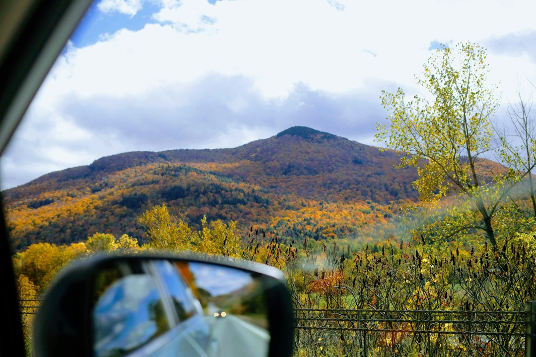
Pulling out of the park is the transition. The rest of the day happens through a windshield, which is the point.
Indiana County has four covered bridges, all within easy driving distance of one another, and the county publishes a driving-tour map for exactly this loop.
Thomas Covered Bridge is the one to start with. It crosses Crooked Creek near Yarnick’s Farm Market, west of Indiana off Route 422, it’s 75 feet long, and it’s the only covered bridge in the county still open to traffic — so you can drive through it, which is the thing kids remember. It has room to pull off and park, which the others don’t really.
Harmon Covered Bridge and Trusal Covered Bridge are companions on the South Branch of Plum Creek, just off Five Points Road and about half a mile apart. Harmon is 45 feet and dates to 1910; Trusal is 41 feet and dates to 1870, which makes it the oldest of the four. Both are pedestrians only, with roadside pull-offs rather than lots, so park carefully and walk in.
Kintersburg Covered Bridge, 68 feet over Crooked Creek and built in 1877, sits off Route 119 near Home, north of Indiana. It’s pedestrians only too.
Four bridges, one tank of gas, and a few miles of back roads with the color overhead the whole way. Download the route before you start: service comes and goes out here, and the pull-offs don’t announce themselves.
Buttermilk Falls Natural Area sits off US-22 past New Florence, roughly thirty-five minutes out, and it’s the only part of the day that asks anything of your legs.
A flat, crushed-stone path runs two-tenths of a mile from the parking area to the upper overlook, which is wheelchair-accessible and takes about ten minutes round trip. From there a forty-five-foot waterfall drops through a sandstone ledge into the Hires Run valley, framed by hemlock. That’s the version most people come for, and in October it’s enough.
If the legs are willing, four flights of metal stairs descend into the gorge to a platform behind the curtain of water, where the sound changes from something you’re watching to something you’re standing inside. The stairs are not maintained for ice and snow, so this is a fall-and-summer option only, and the area is a Habitat Protection Area: stay on the steps and the platform.
The land belonged to Fred McFeely, Fred Rogers’ grandfather, from 1931 to 1956, and young Fred visited as a child. Stone foundations from the estate are still visible along the McFeely Trail.
US-22 west is the last transition. The color is behind you and the pie is ahead.
Dean’s Diner sits at 2175 Route 22 West in Blairsville, in a jade-green-and-stainless dining car that’s been parked here since the 1950s, family-owned since 1934 and open around the clock. A glass case of pies runs the length of the counter, and that case is half the reason anyone pulls off this highway. Slide into a booth that faces the road, order the late lunch you’ve earned, and then order the pie separately, because that’s how it’s done here.
Then the short drive back to Indiana, or straight west toward Pittsburgh if today was the whole trip.
When to go: Mid-to-late October is peak color in Indiana County, and the state posts weekly fall foliage reports through the season at pa.gov/agencies/dcnr. The drive works any month; the canopy is what makes it worth a whole day. Cross-link: Indiana Blog #23.
Provisions: This day needs a thermos, breakfast at the rental, and snacks in the car. Giant Eagle at 475 Ben Franklin Rd S covers it; the lunch stop is the diner. Cross-link: Indiana Blog #36.
Fuel: Fill the tank before you start. Sheetz beside the plaza (525 S Ben Franklin Rd) and downtown (380 Philadelphia St) are open around the clock, and the plaza location has an ATM. The back roads between the bridges have no services.
Blue Spruce Park: 1128 Blue Spruce Road, six miles north of Indiana. County parks close at sunset. No alcohol. Conditions: indianacountyparks.org or (724) 463-8636. Cross-link: Indiana Blog #19.
The covered bridges (driving-tour map at indianacountyparks.org): - Thomas — Crooked Creek, near Yarnick’s Farm Market west of Indiana off Route 422. 75 feet, 1879, rebuilt 1998. The only one open to vehicles, with room to pull off. - Harmon — South Branch of Plum Creek, off Five Points Road. 45 feet, 1910. Pedestrians only; roadside pull-off. - Trusal — the same creek, about half a mile from Harmon. 41 feet, 1870, the county’s oldest. Pedestrians only; roadside pull-off. - Kintersburg — Crooked Creek, off Route 119 near Home. 68 feet, 1877. Pedestrians only; pull off clear of the road. - Download the route before you leave town. Cell service is patchy, and the turns are easy to miss.
Buttermilk Falls Natural Area: 570 Valley Brook Rd, New Florence, PA 15944, about 35 minutes south of Indiana via US-22. Restrooms and a pavilion. The upper overlook is accessible (0.2 mile, crushed stone); the four flights of stairs to the lower platform are not, and they are not maintained for ice or snow. Stay on the steps and platforms — this is a Habitat Protection Area. Cross-link: Indiana Blog #22.
Dean’s Diner: 2175 Route 22 Hwy W, Blairsville, PA 15717. (724) 459-9600. Open 24 hours, with a handful of holiday closings a year. About 22 minutes from Indiana. Cross-link: Indiana Blog #12.
Driving notes: This is roughly 70 to 90 miles of county roads and highway depending on your route. Leaves and early frost make the back roads slick in the morning, and the bridges sit on single-lane approaches where somebody has to yield. Check conditions in winter at 511pa.com.
Emergency and connectivity: In an emergency, call 911. Indiana Regional Medical Center, 835 Hospital Road, Indiana, is the hospital in town. Download maps before you start; service drops on the bridge roads.
Rain plan: Nothing here is cancelled by rain except the dawn reflection, and a wet October morning at the falls is arguably better. Swap the lake for a later start and keep everything else.
Verify hours and availability for each stop — seasonal adjustments are common.
Host Note: [HOST INPUT HERE — e.g., the order you’d drive the bridges from the property, or the back road worth taking between two of them.]
A day like this is the argument for a base rather than a destination: everything on it sits within about forty minutes of Indiana, and none of it is somewhere you’d stay. Peak foliage weekends draw visitors from Pittsburgh and beyond, so mid-October availability tightens earlier than the rest of autumn. Guests booking in the surrounding communities get the early start the dawn stop needs and a kitchen for the breakfast and thermos that make the drive cheap. Booking ahead is how you get a porch facing the same hills you’ll drive through.
Want to feature your business on the DirectStay Blog?
Want to feature your business on the DirectStay Blog?

Connect with travelers, share your space, and join a community of hosts earning together.
Become a host